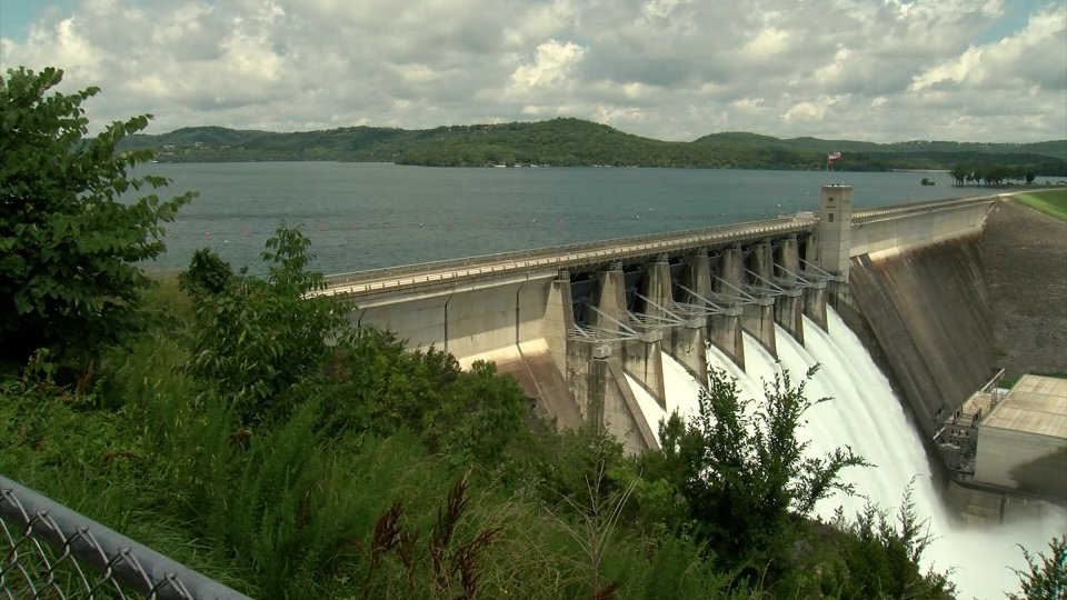
The U.S. Army Corps of Engineers in Arkansas is in the early stages of a study to assess potential impacts of frequent flooding along the public-private shared boundary on Beaver Lake.
by: Chris Six, Ozarks First
The U.S. Army Corps of Engineers in Arkansas is in the early stages of a study to assess potential impacts of frequent flooding along the public-private shared boundary on Beaver Lake.
According to a press release, when the land was originally acquired for Beaver Lake in the 1950s, the plan was to purchase property around the inundation area up to elevation 1128 mean sea level.
The Corps says funding and recourse issues have limited the government’s ability to conduct any studies of frequent flooding.
The Corps has received funding to study the problem, formulate alternatives, and if the acquisition is approved, begin acquiring some of these low-lying areas, the press release states.
A public comment period for the study will run from May 11 to June 10. The comment period will provide an opportunity for landowners and others to discuss possible options, including potential land acquisition, or to suggest alternatives to address the flooding of private lands. During this time, comments, concerns, and questions can be emailed to the following address: CESWLBeaverLakeAcquisitionPublicComment@usace.army.mil.
The Corps also has a website that will include a map of all private lands currently or potentially impacted by flooding, an online comment form, and a narrated presentation that provides an overview of the project and answers many of the frequently asked questions.
 Hotter Today but Cooldown for Wednesday
 Employees Still Waiting to Hear From Branson Tri-Lakes Newspaper Management
 Informational Meeting About Fire and Police Tax Thursday
 Tick Season Is in Full Force
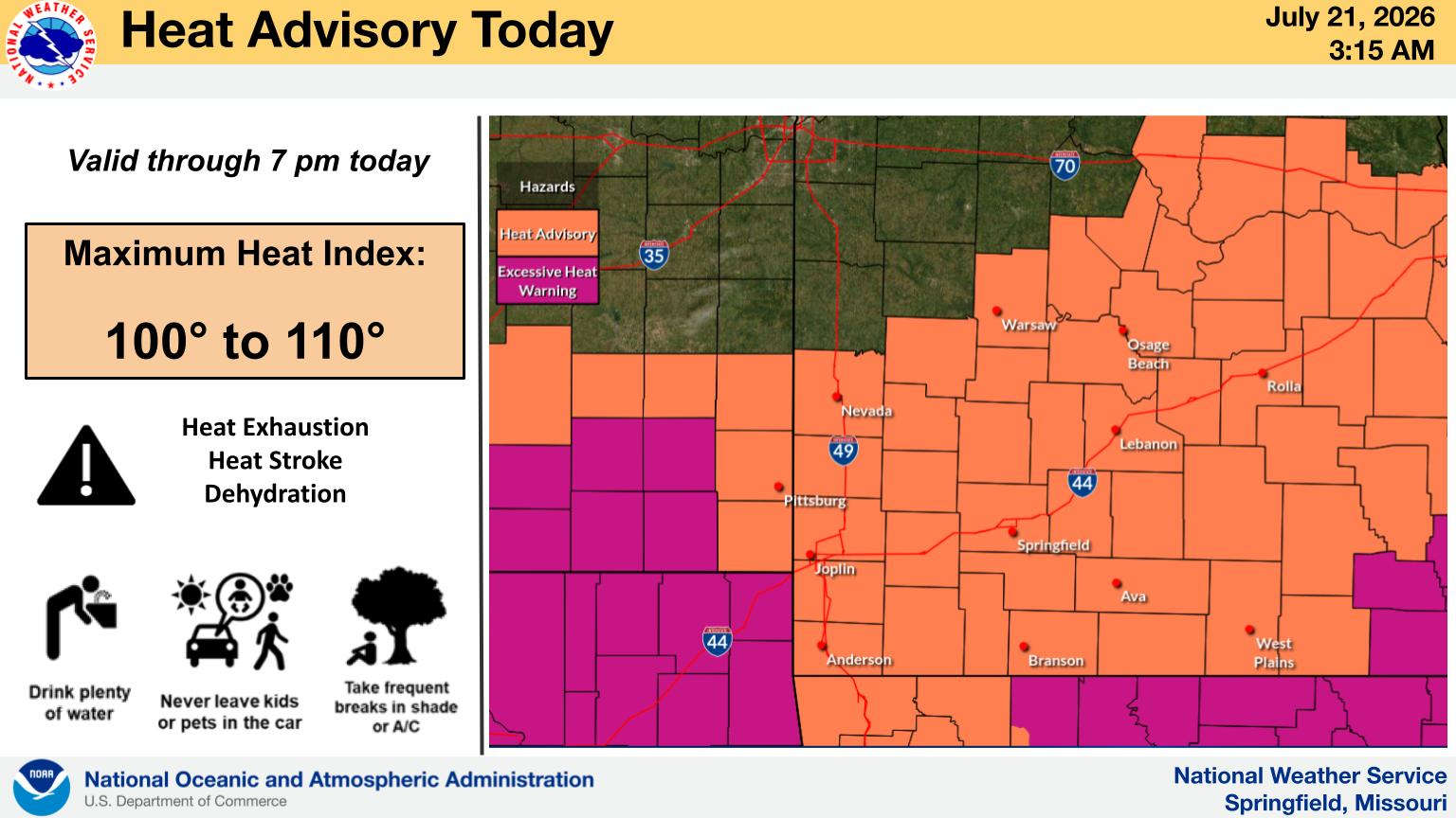
 What is the Potential Heat Index Readings for This Week? Update


