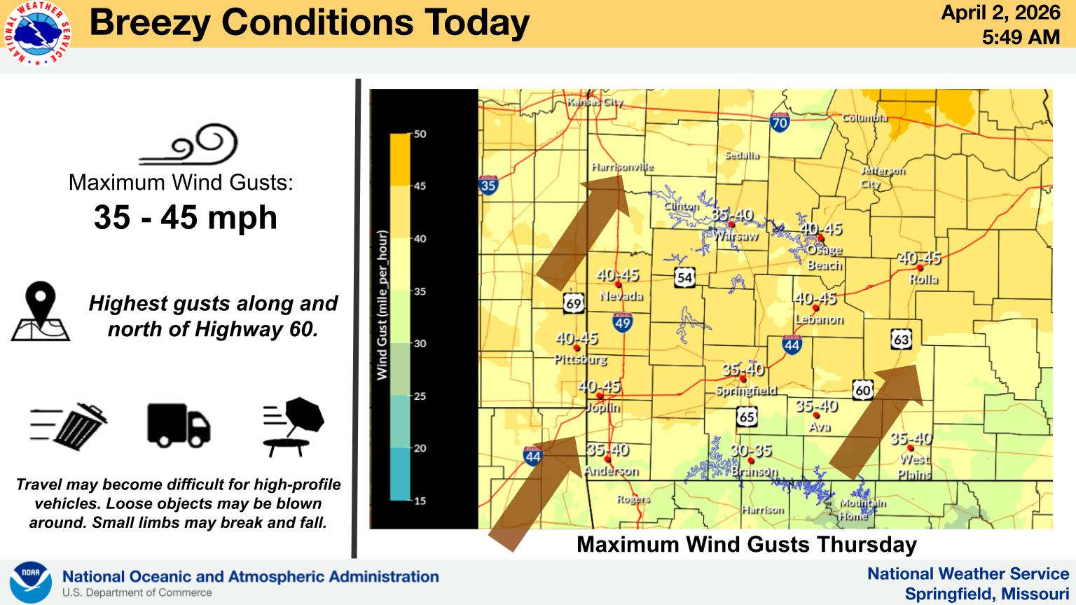
The National Weather Service has raised the Threat Level for Severe Weather for parts of the Lakes Region.
For today, areas east of Highway 65 are at a Marginal Threat for severe storms while areas west will see non-severe but possible strong thunderstorms. Wind gusts are possible above 30 MPH today.
Good Friday has weather forecasters calling for areas north and west of a Branson to Berryville line at a Slight Risk for Severe Storms while a Marginal Risk is in place for areas south and east of that line. Damaging Winds and Isolated Tornados are the primary threats with the storms.
Rain will continue into Saturday before finally giving way to clear and cool conditions on Easter Sunday with lows in the 30s and 40s to start the day before warming into the 60s during the afternoon.
 Law Enforcement Seeking Information on Deadly Beaver Lake Accident
 Murder Suspect Arrested in Lakes Region Identified
 Front Storms Area, Brings End to Heat
 Springfield Murder Suspect Arrested in Lakes Region
 Final Hot Day Ahead of Front Bringing Cooler Temperatures, Rain


