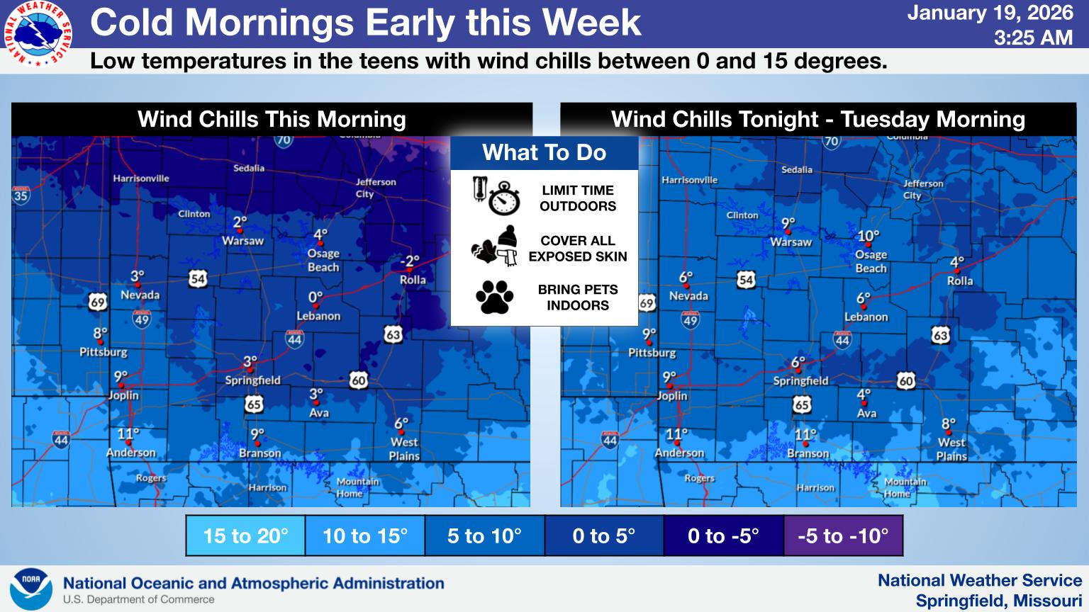
Another round of back-and-forth temperatures are expected in the Lakes Region this week.
Today will be the coldest day of the season so far with a front moving through this morning continuing to drop temperatures until mid-morning before warming up to the upper 20s. Wind chills will be in the single digits most of the day.
A warm-up begins Tuesday with temperatures surging into the upper 40s to around 50 through Thursday before another front will bring another round of cold air and the potential for some snowfall by the end of the week.
 Law Enforcement Seeking Information on Deadly Beaver Lake Accident
 Murder Suspect Arrested in Lakes Region Identified
 Front Storms Area, Brings End to Heat
 Springfield Murder Suspect Arrested in Lakes Region
 Final Hot Day Ahead of Front Bringing Cooler Temperatures, Rain


