
Thanksgiving week will see a pair of cold fronts that will set-up the Lakes Region for a Frigid Holiday.
Today will be the warmest of the week with some areas getting to around 70 for the high with gusty winds from the south up to 30 MPH.
The first of two cold fronts moves through overnight with strong northwest winds bringing in winds chills into the 40s.
After highs in the 50s and 60s Tuesday and Wednesday, another front will bring the chance of rain Thanksgiving morning with highs in the 40s into the Holiday Weekend.
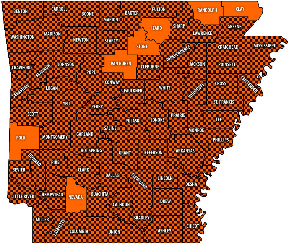 Burn Bans Accompany Low Water Conditions
 Law Enforcement Seeking Information on Deadly Beaver Lake Accident
 Murder Suspect Arrested in Lakes Region Identified
 Front Storms Area, Brings End to Heat
 Springfield Murder Suspect Arrested in Lakes Region


