
While the amount of rain is not expected to be great with the approaching system, scattered severe thunderstorms and strong winds are expected today.
According to the latest information from the National Weather Service, the storms will move through the area from mid-morning until early afternoon and with some hail and strong winds. A Red Flag Warning has been issued for areas around Highway 65 and to the west, including Barry, Christian, Stone, and Taney Counties. Winds are expected to increase, and humidity drop after the storms clear the area causing an elevated fire risk. Wind Gusts above 50 mph are possible this afternoon into evening.
It will remain windy and turn cooler to start the weekend with highs in the 50’s and winds still gusting to over 30 MPH on Saturday.
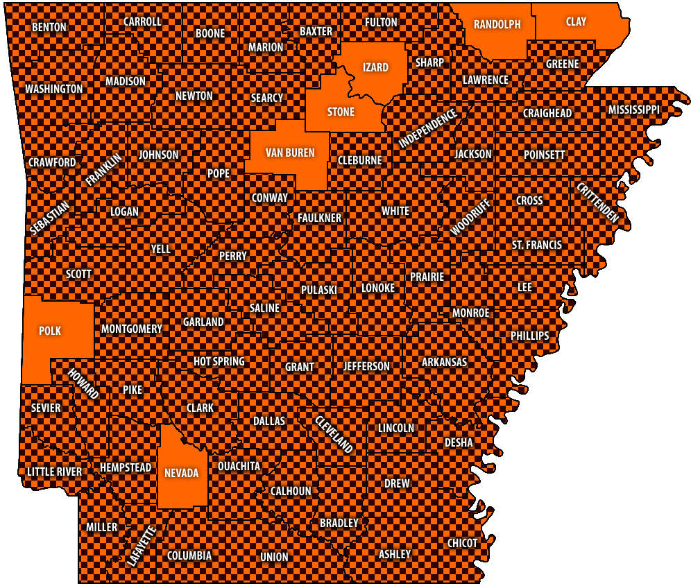 Burn Bans Accompany Low Water Conditions
 Law Enforcement Seeking Information on Deadly Beaver Lake Accident
 Murder Suspect Arrested in Lakes Region Identified
 Front Storms Area, Brings End to Heat
 Springfield Murder Suspect Arrested in Lakes Region


