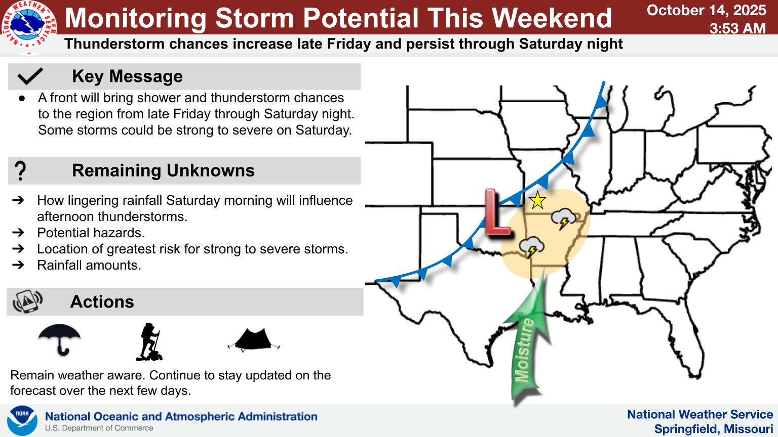
While the week will remain dry and warm, a frontal system could bring in stormy weather to start the weekend.
According to the latest projection from the National Weather Service, a frontal system will approach the area on Friday and begin to develop showers and thunderstorms early Saturday morning.
While forecasters haven’t identified what the severe threats are with the frontal passage, they do forecast temperatures to drop to normal readings by the end of the weekend with highs in the 70s and lows in the 40s going into next week.
 Final Hot Day Ahead of Front Bringing Cooler Temperatures, Rain
 One Person Injured in Fall Down Elevator Shaft
 Bell: Events All Through the Lakes Region are Good for Whole Area
 Sanders Issues Disaster Declaration for Marion, Searcy Counties Due to May Storms
 NTSB Releases Details on May Plane Crash near Berryville


