
For the second day in a row, severe weather stays out of the heart of the Lakes Region.
This time, it was northern areas of the region in Missouri that got hit hardest by the storms with large hail up to half dollar size reported in areas just south of Springfield. The line of storms had weakened by the time they arrived in the Lakes Region and some brief heavy rain and strong winds were the results of those storms. Some strong winds did knock down some powerlines in northern Stone County around Hurley according to a report from the National Weather Service.
Rain chances are expected to continue for the rest of the week but major severe thunderstorms are not expected to develop.
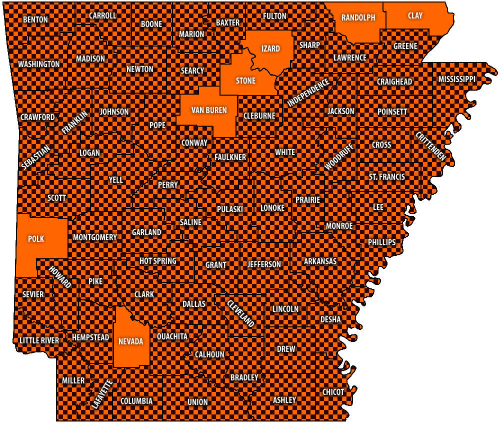 Burn Bans Accompany Low Water Conditions
 Searcy County Election Commissioners Resign Over Voter Data Concerns
 Law Enforcement Seeking Information on Deadly Beaver Lake Accident
 Murder Suspect Arrested in Lakes Region Identified


