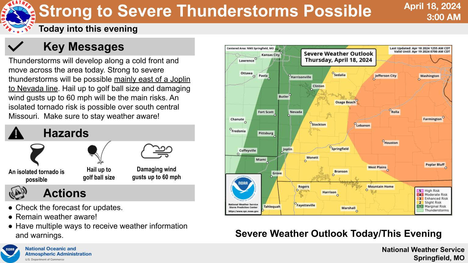
A frontal system heading to the Lakes Region will bring the chance of some strong to severe thunderstorms to the region today.
According to the National Weather Service, thunderstorms will begin developing mid to late afternoon with large hail and strong winds the primary threats.
Once the front moves through, temperatures will drop with highs only expected in the 60s on Friday and over the weekend with lows in the 40s, possibly dropping to the upper 30s early Monday morning before a warm-up begins.
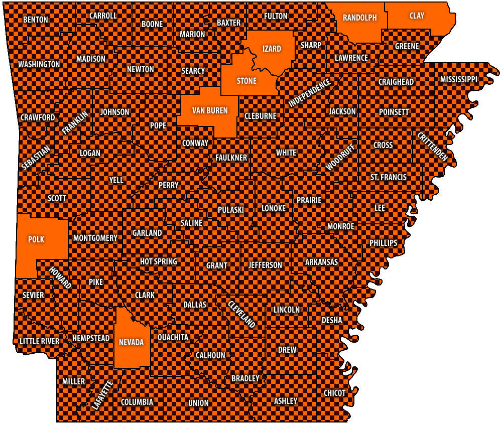 Burn Bans Accompany Low Water Conditions
 Searcy County Election Commissioners Resign Over Voter Data Concerns
 Law Enforcement Seeking Information on Deadly Beaver Lake Accident
 Murder Suspect Arrested in Lakes Region Identified


