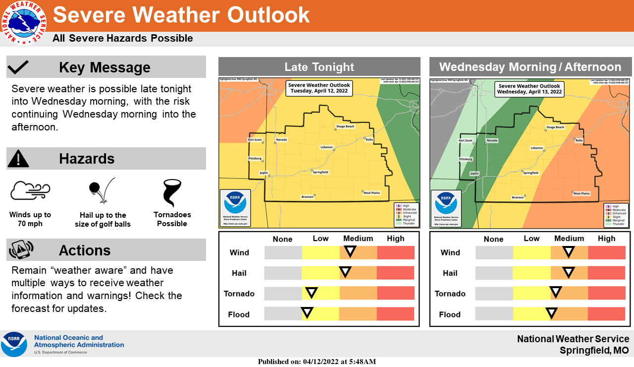
Round one of strong to severe thunderstorms resulted in scattered reports of hail from the Springfield area to Harrison with some strong winds reported in several areas of the Lakes Region.
After Dense Fog lifts in the area this morning, temperatures will quickly move to around 80 this afternoon with gusty winds prior to the next system moving into the region late tonight into Wednesday producing another round of potential severe thunderstorms with hail and high winds being the primary threat with tornados also a possibility.
Showers will eventually move out Wednesday night with dry and cool conditions forecast for Thursday.
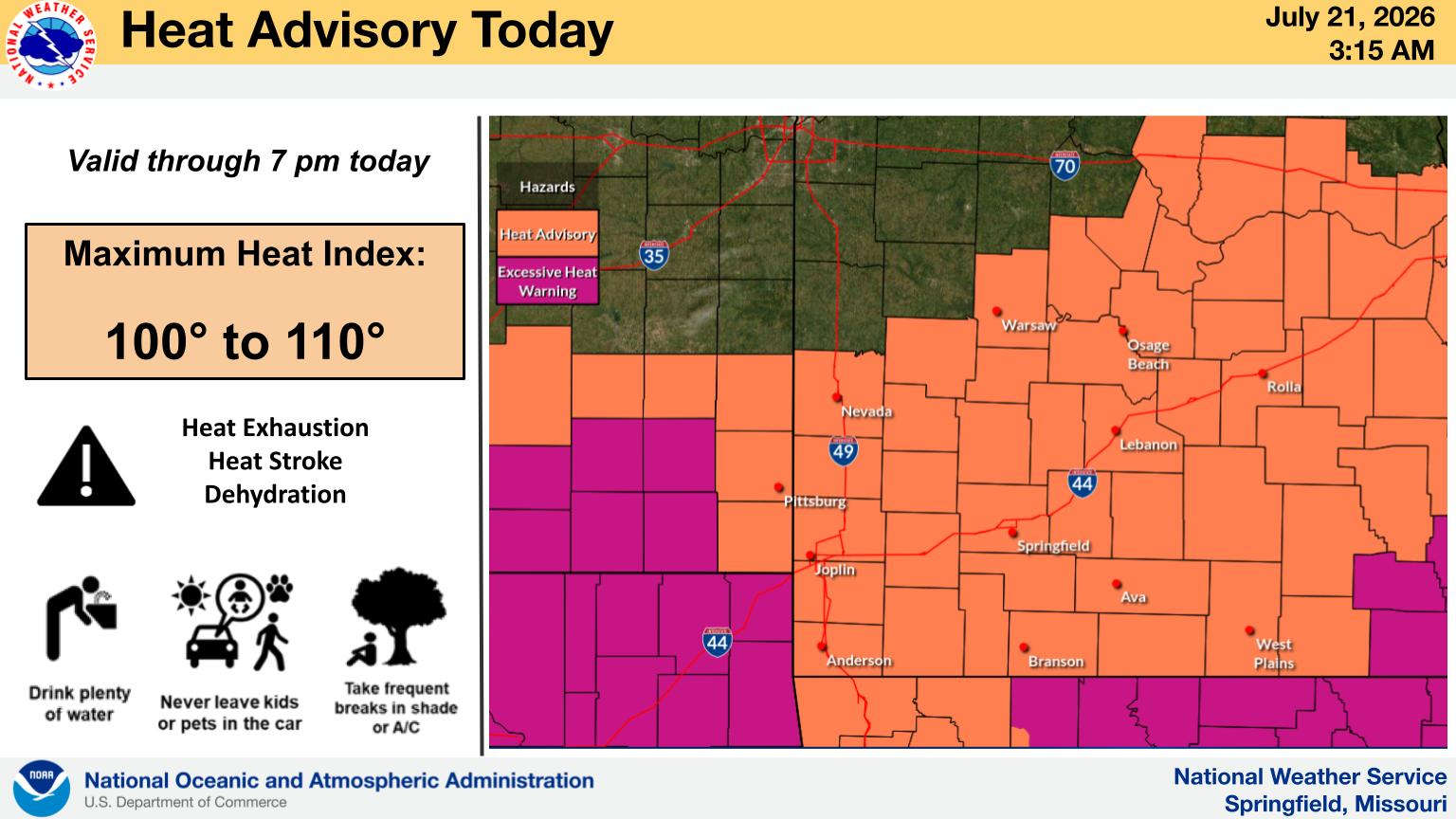 Hotter Today but Cooldown for Wednesday UPDATE
 Employees Still Waiting to Hear From Branson Tri-Lakes Newspaper Management
 Informational Meeting About Fire and Police Tax Thursday
 Tick Season Is in Full Force
 What is the Potential Heat Index Readings for This Week? Update


