
A warm-up continues in the Lakes Region with temperatures in the 60s today with even warmer conditions on Wednesday.
Forecasters with the National Weather Service expect temperatures on Wednesday to approach record levels with highs in the low 70s.
A storm system moving through Wednesday night into Thursday will bring scattered thunderstorm chances though some of those storms could be severe.
Even after the passage of the front, high temperatures will remain in the 60s through the end of the week and return to the 70s by the end of the weekend.
 What is the Potential Heat Index Readings for This Week? Update
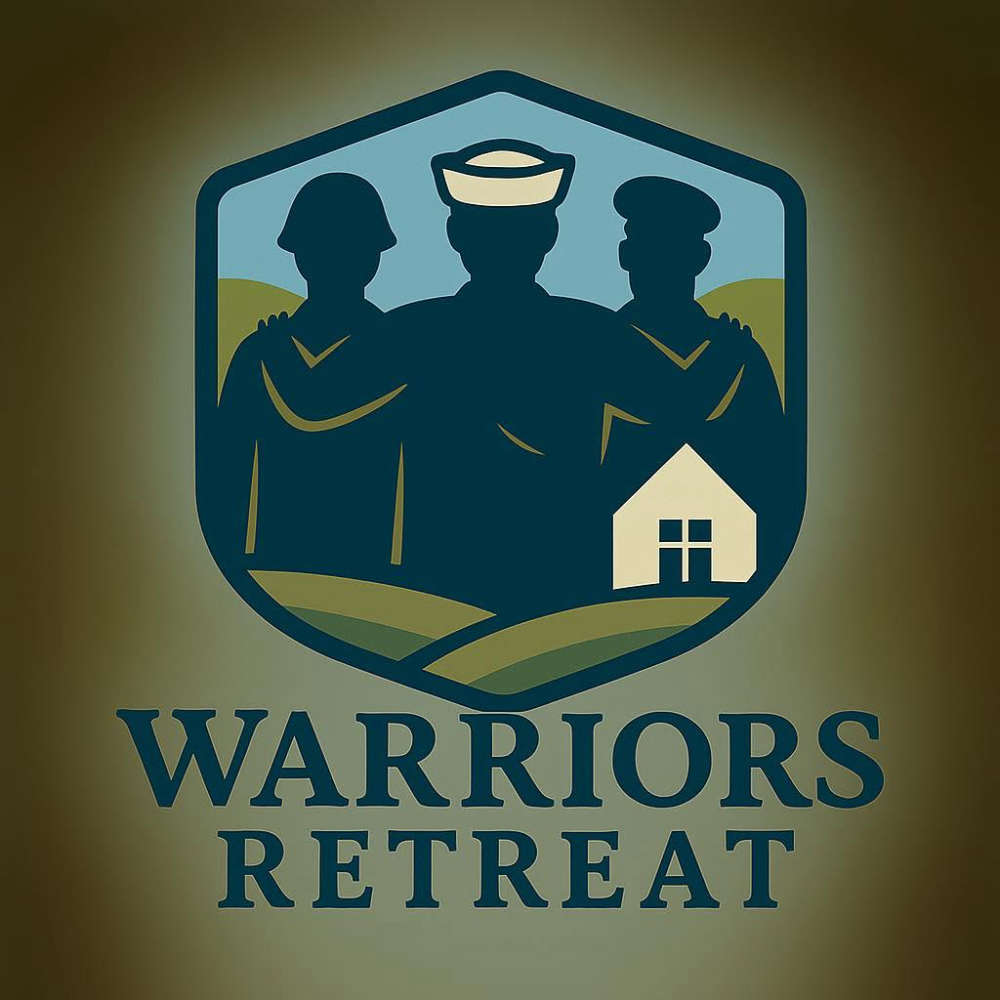 Warriors Retreat Holds Ribbon Cutting
 Lettuce Recall Continues, Expands
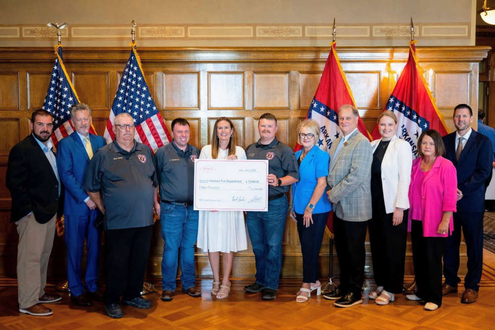 Harmon Fire Department Awarded Matching Grant
 U of O Northark Movie Night Features Movie in Star Wars Series


