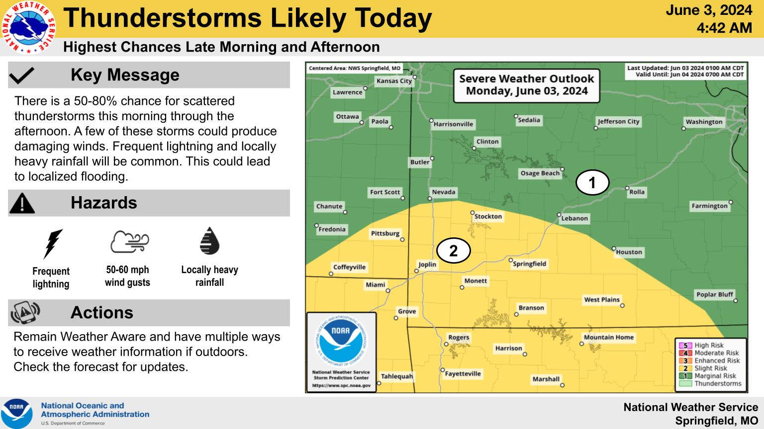
After a mostly dry weekend, the first week of June starts with chances of showers and thunderstorms.
According to the National Weather Service, there is a slight risk of severe weather as the storms move through with locally heavy rain and 50-60 MPH winds the primary threat. The heaviest of storms are expected to move through the Lakes Region early this afternoon.
Another round of rain is expected Tuesday night into Wednesday morning with the rest of the week expected to be dry.
 Law Enforcement Seeking Information on Deadly Beaver Lake Accident
 Murder Suspect Arrested in Lakes Region Identified
 Front Storms Area, Brings End to Heat
 Springfield Murder Suspect Arrested in Lakes Region
 Final Hot Day Ahead of Front Bringing Cooler Temperatures, Rain


