
The Ozarks were pelted by Showers and Thunderstorms over the weekend.
While amounts and timing of rained varies, several areas did have periods of strong thunderstorms. An Amateur Radio Operator reports to the National Weather Service in Springfield that they had heard a report of a vehicle that was blown off of Highway 65 in Taney County into the grass during one round of storms on Sunday. Other areas of the Ozarks reported periods of heavy rain and flash flooding.
Western parts of the Lakes Region including Barry County in Missouri and Carroll County in Arkansas remain under a Flash Flood Watch this morning with chances of showers and thunderstorms continuing throughout the region this week.
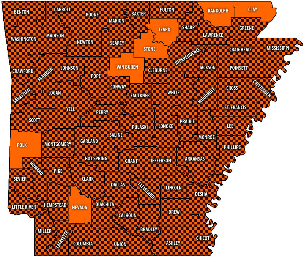 Burn Bans Accompany Low Water Conditions
 Searcy County Election Commissioners Resign Over Voter Data Concerns
 Law Enforcement Seeking Information on Deadly Beaver Lake Accident
 Murder Suspect Arrested in Lakes Region Identified


