
National Weather Service Storm Tracking teams report two tornado touchdowns with storms that passed through the region early Monday morning.
According to one report, an EF-1 Tornado tracked parallel with i-49 through southern Newton County near Neosho. 90 mph winds forced a manufactured home off of its foundation while collapsing the doors on a farm outbuilding. several trees were snapped and uprooted. An EF-0 Tornado was reported by another team surveying a storm in rural Jasper County.
Doug Cramer with the National Weather Service Office in Springfield, tells KRZK's "Ozarks Now" Program that another storm system will move through the area Wednesday bringing another chance of thunderstorms. Cramer says the potential for more severe thunderstorms and possible flooding will become clearer as the system approaches the Ozarks on Tuesday.
The complete interview with Cramer from "Ozarks Now" can be heard below:
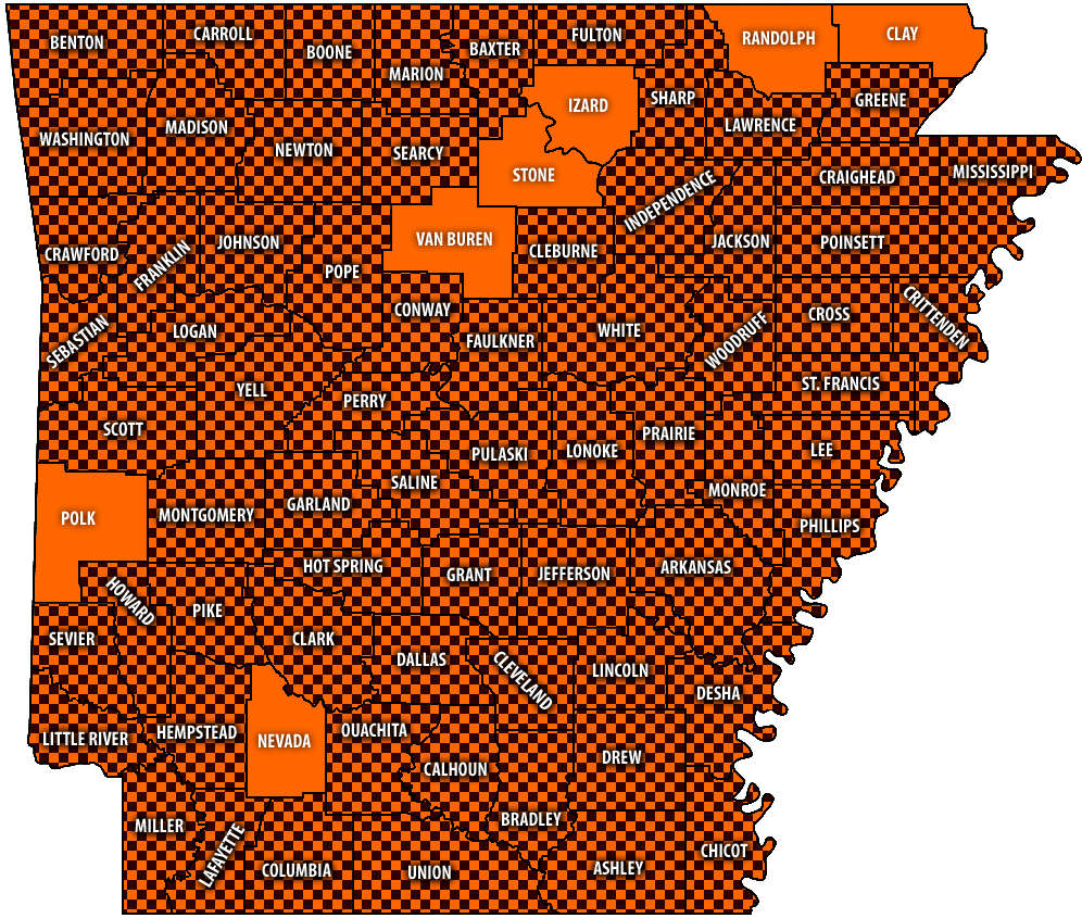 Burn Bans Accompany Low Water Conditions
 Searcy County Election Commissioners Resign Over Voter Data Concerns
 Law Enforcement Seeking Information on Deadly Beaver Lake Accident
 Murder Suspect Arrested in Lakes Region Identified


