

The front that moved through the Ozarks on Sunday brought with it a variety of weather conditions including a first-time warning from the National Weather Service.
As the cold front approached the area, it fired off the expected severe weather including several Severe Thunderstorm and Tornado Warnings. Several parts of the Lakes Region, including the Branson area, were under a Severe Thunderstorm Watch for a time but no damage was reported to the weather service. Later, the front shifted the winds to the northwest with gusts above 40 MPH. Two areas in Arkansas reported stronger gusts with a 52 MPH gust recorded at Edwards Junction in Newton County while a 60 MPH gust was recorded in Harrison at the Boone County Airport.
Snow fell behind the front and some areas in southwest Missouri were put under a new warning developed by the NWS. A Snow Squall Warning was issued for areas between Joplin and Mt Vernon and later for the Springfield area as brief periods of heavy snow combined with the wind left driving visibilities near zero in that area. A brief period of snow did move through the Branson area but not long enough to prompt a warning. Some snow flurries are still in the area this morning.
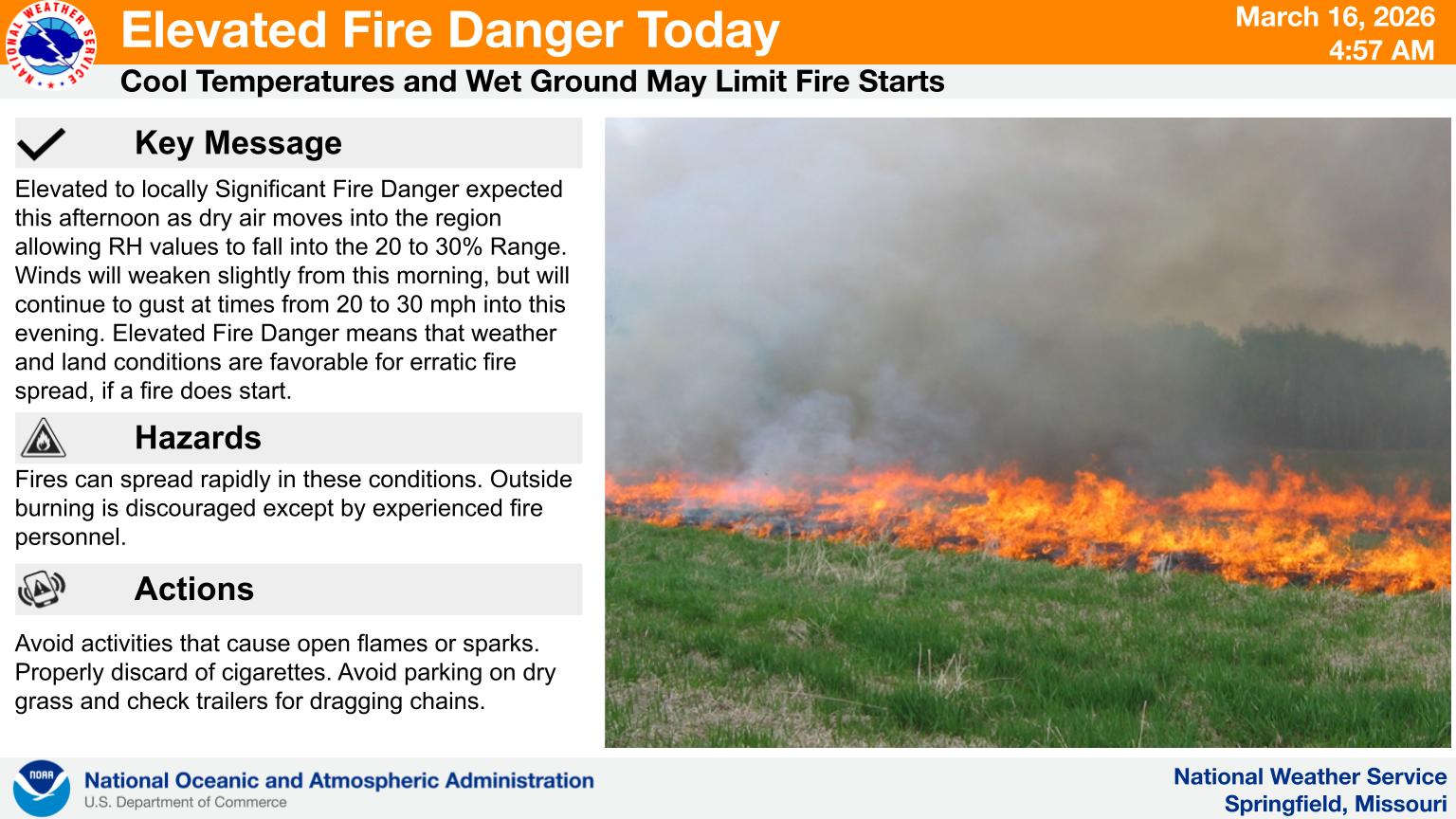
Most of the region has been under a Wind Advisory that will expire this morning. Windy conditions will remain with gusts up to 30 MPH possible as temperatures will be in the 30s this afternoon keeping wind chill in single digits for much of the day. The high winds have officials in both southern Missouri and northern Arkansas warning of a risk for outdoor burning as dry air moves into the region.
A quick warm-up is expected after today with temperatures reaching the 80s by Thursday.


 Man Charged with Murder at Apartment Complex Near Branson
 Major Weather Change Today, Precipitation Chances Drop, Strong Winds Expected UPDATE 2
 MDC Works with State, Federal Agencies to Improve Fish Habitat at Table Rock Lake
 Baxter Health Announces Retirement of Longtime Harrison Doctor
 North Arkansas College Reaches Near Record Enrollment