
After high temperatures in the 90s on Saturday, two cold fronts moving through the Lakes Region could lead the the first frost of the season Wednesday morning.
While the weekend wrapped up with slightly cooler but still above normal temperatures on Sunday, the first front will drop temperatures to normal levels on Monday before a secondary front will bring in much cooler temperatures on Tuesday with highs only in the low to mid 60s while lows will drop early Wednesday morning to the mid 30s with readings closer to freezing in higher elevations.
In addition to frost, windy and dry conditions will continue to elevate the risk of fire spreading during the week.
 Hotter Today but Cooldown for Wednesday UPDATE
 Employees Still Waiting to Hear From Branson Tri-Lakes Newspaper Management
 Informational Meeting About Fire and Police Tax Thursday
 Tick Season Is in Full Force
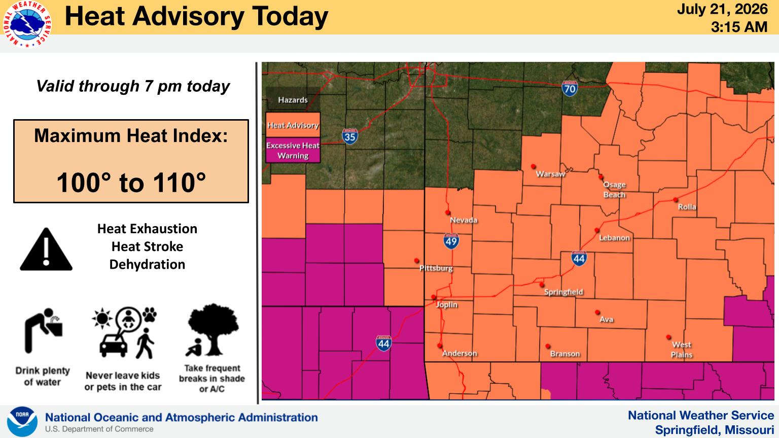
 What is the Potential Heat Index Readings for This Week? Update


