
The extra day in February gave the region a brief round of winter precipitation before a warm-up gets underway to start March.
A band of showers moved through the region on Thursday night with temperatures cool enough to produce a winter mix of rain, freezing rain, and snow for a few hours. While the precipitation was heavy at times, no major travel hazards were reported.
Clouds will slowly move out today with temperatures getting into the upper 50s to low 60s before a major warm-up this weekend that could temperatures back around 80 by Sunday.
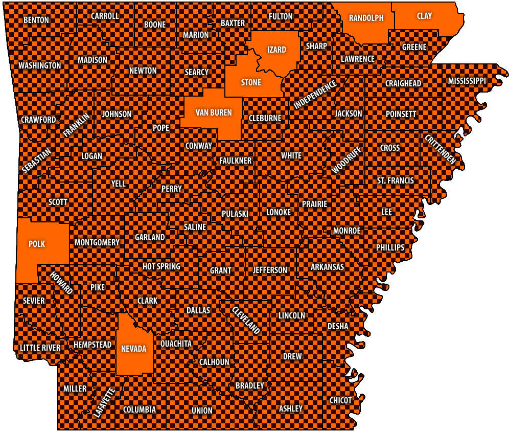 Burn Bans Accompany Low Water Conditions
 Searcy County Election Commissioners Resign Over Voter Data Concerns
 Law Enforcement Seeking Information on Deadly Beaver Lake Accident
 Murder Suspect Arrested in Lakes Region Identified


