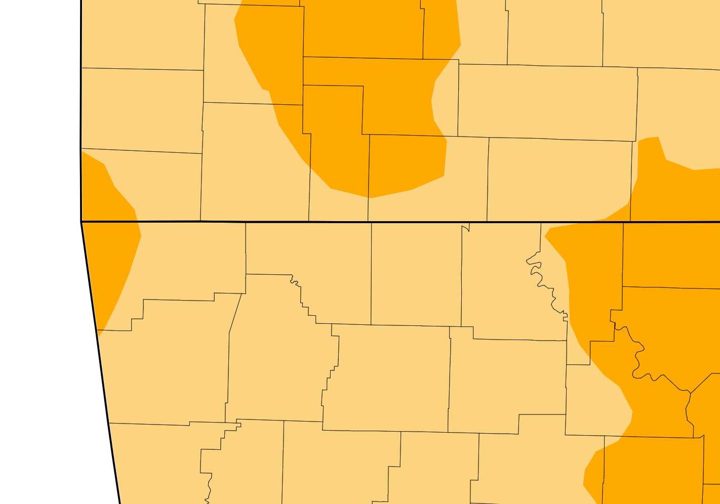
The latest map from the U.S. Drought Monitor shows parts of the Lakes Region at an increase in drought level.
The map, released prior to Thursday’s rain, indicates that areas north of a Branson and Kimberling City line are now at a Severe Drought Level while the rest of the Lakes Region remains at Moderate Levels.
The areas in severe drought are showing lower water levels in rivers and streams with winter vegetation being stressed.
The current forecast calls for little to any precipitation over the next seven days.
 Informational Meeting About Fire and Police Tax Thursday
 Tick Season Is in Full Force
 What is the Potential Heat Index Readings for This Week? Update
 Warriors Retreat Holds Ribbon Cutting
 Lettuce Recall Continues, Expands


