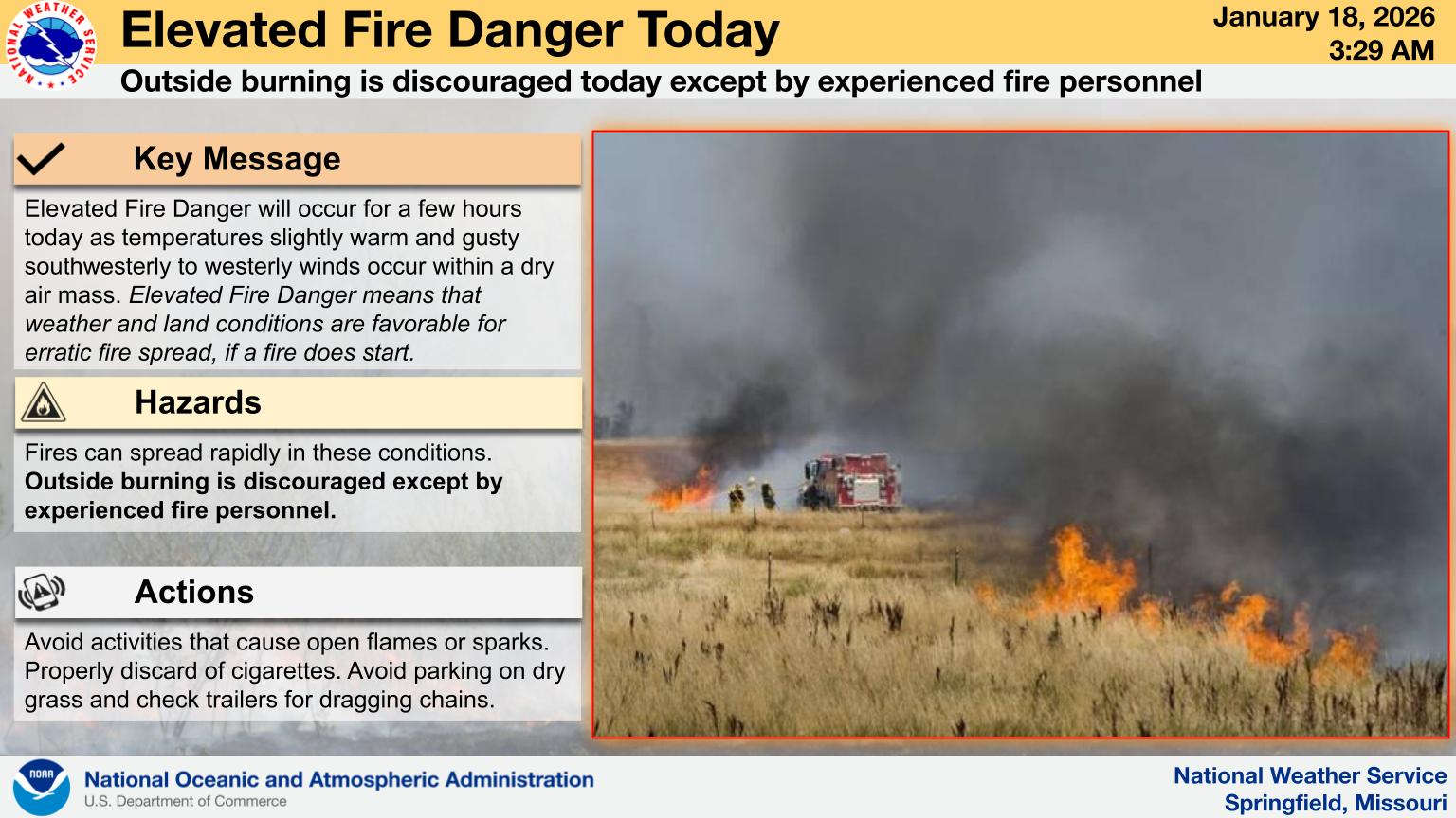
The Lakes Region is seeing an unusual combination of cold and fire danger.
Sunday morning saw low temperatures dip into the teens with wind chills around zero. While winds will shift to the south bringing in some warmer air, wind chills will still feel in the teens with wind gusts at 25 MPH or higher. Despite the cold conditions, the air is still dry with the strong winds leading weather forecasters to
Another front moves in overnight Sunday into Monday morning bringing in a chance of snow flurries and high temperatures for Martin Luther King, Jr. day staying below freezing.
A warm-up is expected to begin on Tuesday's with highs returning to the 40s and 50s later in the week.
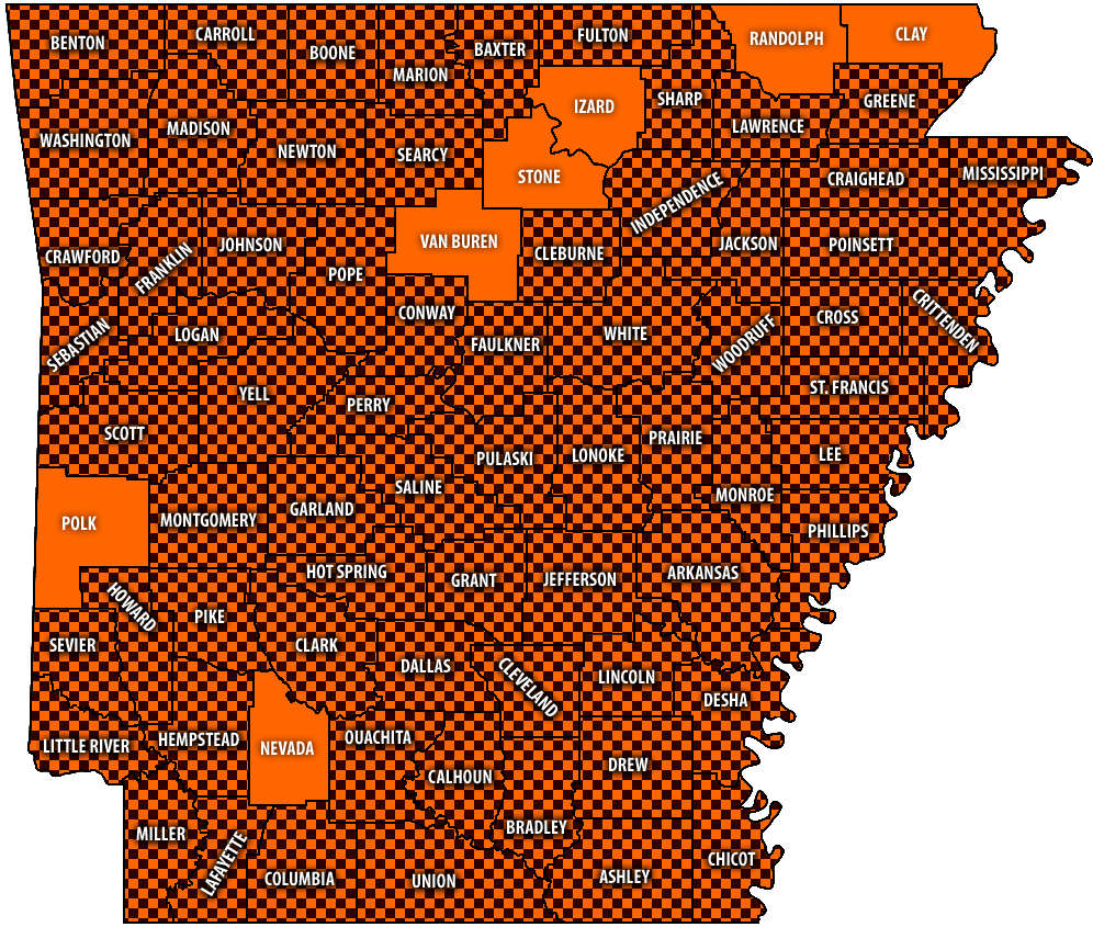 Burn Bans Accompany Low Water Conditions
 Law Enforcement Seeking Information on Deadly Beaver Lake Accident
 Murder Suspect Arrested in Lakes Region Identified
 Front Storms Area, Brings End to Heat
 Springfield Murder Suspect Arrested in Lakes Region


