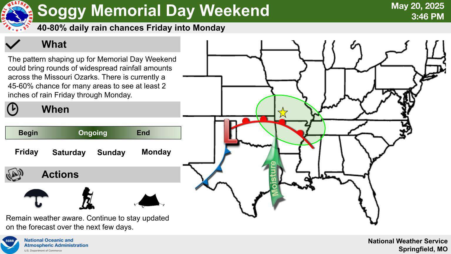
A frontal boundary has kept the Lakes Region in a rain pattern, with showers and thunderstorms last night and overnight moving through the area.
Several Severe Thunderstorm Warnings were issued, including for areas around Table Rock Lake in Barry County. Some hail was reported with the storms.
Rain moves out and a couple of dry days will be ahead with precipitation returning Friday night. The National Weather Service says multiple rounds of showers and thunderstorms could lead to some flooding. Rainfall amounts could be around four to eight inches through the weekend according to forecasters, who add that the risk of severe weather is present but is low.
Temperatures are expected to stay on the cool side most of the weekend with highs in the upper 60s to low 70s.
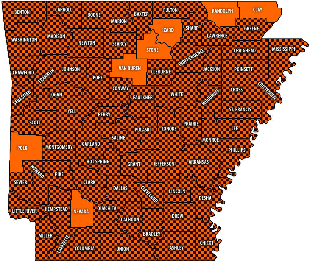 Burn Bans Accompany Low Water Conditions
 Searcy County Election Commissioners Resign Over Voter Data Concerns
 Law Enforcement Seeking Information on Deadly Beaver Lake Accident
 Murder Suspect Arrested in Lakes Region Identified


